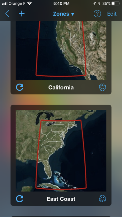
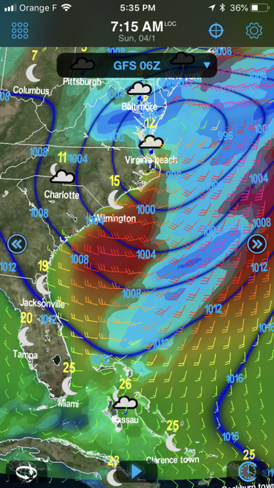
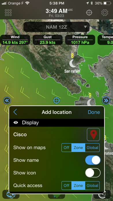
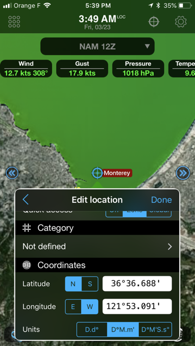
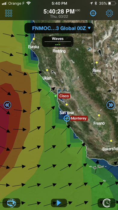
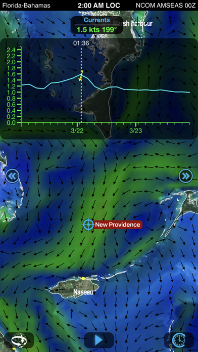
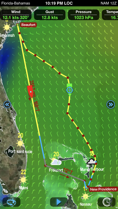
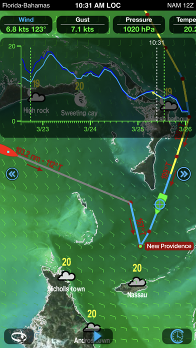
Weather4D Routing is an outstanding meteorological and routing application based on weather and ocean data in GRIB format as well as the speed characteristics of the sailing boat (polar) and its minimum speed when operated with its engine. It benefits from an interface derived from the “Routing & Navigation” version. Weather GFS model is provided by default. In addition, over 35 weather and oceanographic models are available with a yearly subscription (in-app purchase). Queries and downloads are fully customizable. The application makes it possible to create your own geographical zones and to select the characteristics of the GRIB files to download: choice of data, resolution, periodicity, file size, etc. GRIB files can be downloaded wherever you are from our servers through a regular or satellite internet connection. Weather4D Routing displays the combined data as layered layers. All the data of a selected model is displayed by an animation in continuous time scrolling or in manual scrolling on the map. The weather forecast is displayed in one or two windows (iPad only), offering several display combinations of the same area: navigation and weather, weather and waves or currents, comparison of different models. The two windows can be disassociated for displaying the same area at different scales. Routing Weather4D Routing makes it possible to optimize sailing or engine, or mixed sail-engine routes. From a theoretical route, a routing algorithm will take into account wind force and wave height constraints. When sailing, the boat polar combined with wind and current forecasts will be used to optimize performance, comfort and safety. Several routes can be displayed to compare the outcome of different options: different forecast patterns, departure dates and times, selected constraint values. The routing can be restarted at any moment during navigation from the actual position of the boat. Default Models and Charts ———————————— GFS global forecast model at 0.25 °, 0.5 °, 1 ° and 2 ° resolutions. BING global chart OSM (Opens Street Map) global chart Optional Models (in-app purchase): ——————————————————— Weather -------- NAM USA GEM Global COAMPS Europe, West Atlantic, Central America, East Pacific ICON-EU Europe ARPEGE Global, Europe AROME France, Antilles, Guyane, Polynésie, Calédonie, Indien AROME HD France WRF France, Europe, Greece, NW Africa, Azores, Lesser Antilles, Greater Antilles Waves ------- MFWAM Global, Europe, France FNMOC WW3 Global, Europe Currents --------- MyOcean Global, IBI, NWS, Baltic, Med NCOM AMSEAS, USEAST, ALASKA, SOCAL, HAWAII