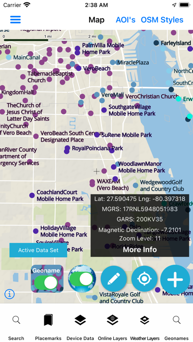
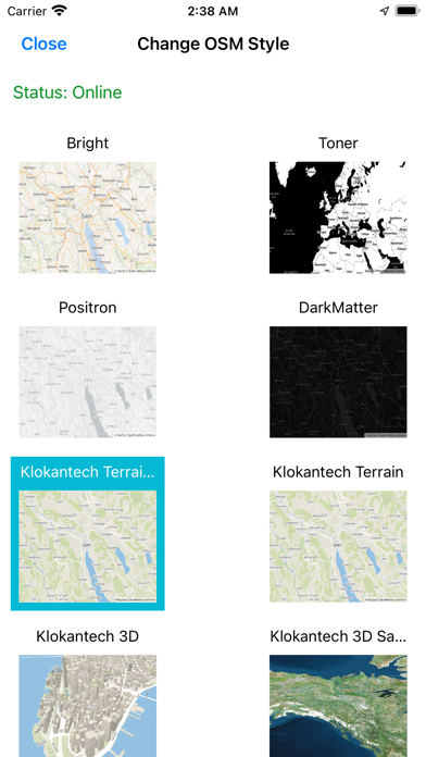
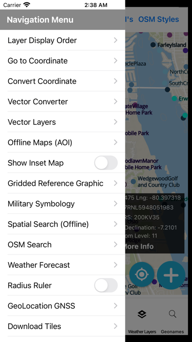
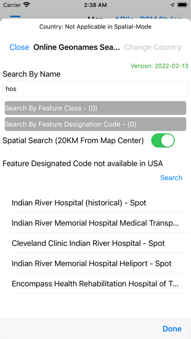
The app works immediately after install with internet access The map, search and audio playback work with data on Tech Maven Geospatial's server. Offline Data can be downloaded for custom user defined area of interests. Required data is automatically downloaded And optional data can be selected and downloaded. Users can also load their own map data (GeoJSON and MBTILES (raster tiles & vector tiles) and GPKG raster tiles 3857 & GPKG vector features ) Attribute Grid/Table view of local GPKG and GeoJSON The app has an advanced mapping engine that’s vector tile based with OpenMapTiles OpenStreetMap Vector Tiles with custom stylesheets as well as raster tile basemaps. GeoNames data is displayed by 9 different Feature Classes (administrative_region locality_area,populated_places,spot,streets_highways_roads_railroad,undersea,vegetation,hydrographic,hypsographic) and users can decide what feature classes to show. The GeoNames Display field is used to control the scaling/zoom levels of the data. Advanced GeoNames Search and Spatial Search (constrain your queries to a certain geographic area) (Includes both NGA Foreign and USGS Domestic GeoNames Data) The map features: Coordinate Display (Lat Long, MGRS, GARS) Scale Bar Measure Area and Linear Tools GeoLocation with settings for tracking your location. Spatial bookmarks The map has optional vector tile overlays that can toggled on MGRS Grid, GARS GRID, TimeZones, International Boundaries The map supports searching MapBox and OSM (Originally only available to US Government Personnel via NGA's GEOINT App Store now publicly available to any and all users)